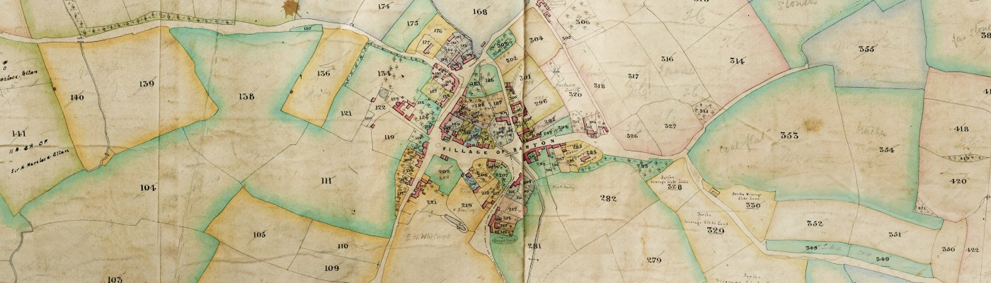
Link to website → Tithe Maps Project
by Mia Cox, Archivist
We recently launched our Tithe Maps Website, the result of an ongoing project that started in 2020 to transcribe and digitise the tithe maps and apportionments we hold here at North Yorkshire Archives.
We look after around 370 tithe awards, and currently over 300 apportionments have been transcribed by our fantastic volunteers – primarily during the pandemic in 2020/2021. We have digitally scanned over 150 maps, a process which is ongoing in our Reprographics Department, alongside other day-to-day tasks.
You can read more about what tithes are on this blog post and on the website.
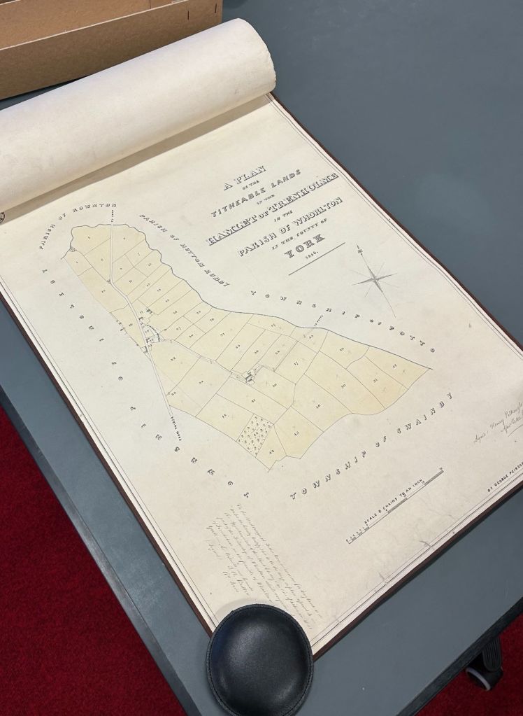
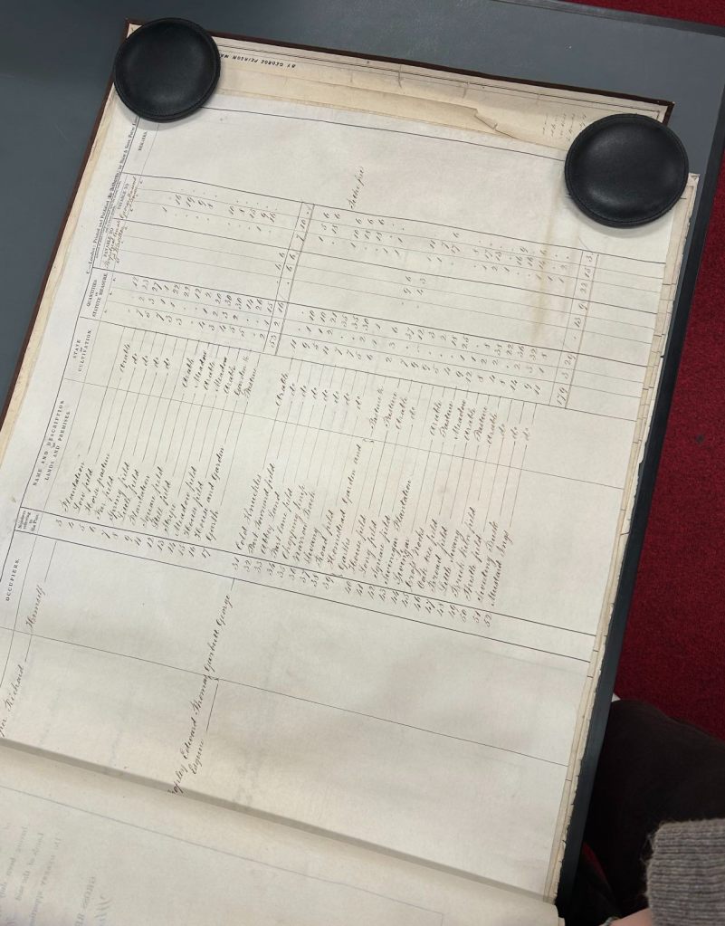
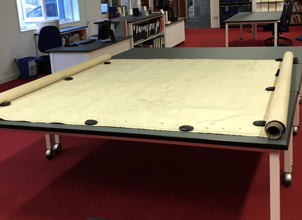
Out in the searchroom, the Trenholme tithe map, dated 1846, and tithe apportionment (reference: T)
The volunteers used digital copies of the original apportionments taken from microfilm and transcribed the information into a template provided in Excel. We were delighted to be able to ensure our volunteers could continue doing something they enjoyed, and as a result we have been able to make the tithe awards accessible in a way they had never been before. You can read more about the project when it first started on this blog post.
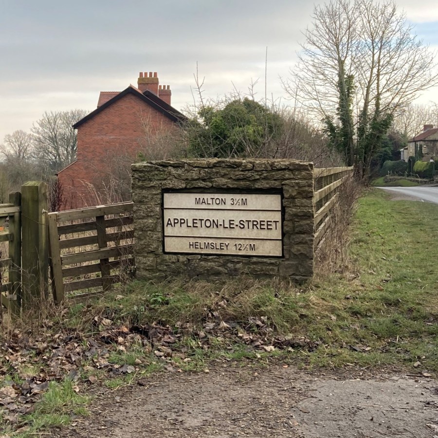
With support from the Northallerton and District Local History Society we created a website to host the maps and transcribed apportionments. Lots of hard work went into the design of each page, including the compilation of important additional data, such as dates, descriptions from trade directories, and images of place signs to go on the maps pages (see some examples of places uploaded to the website below).
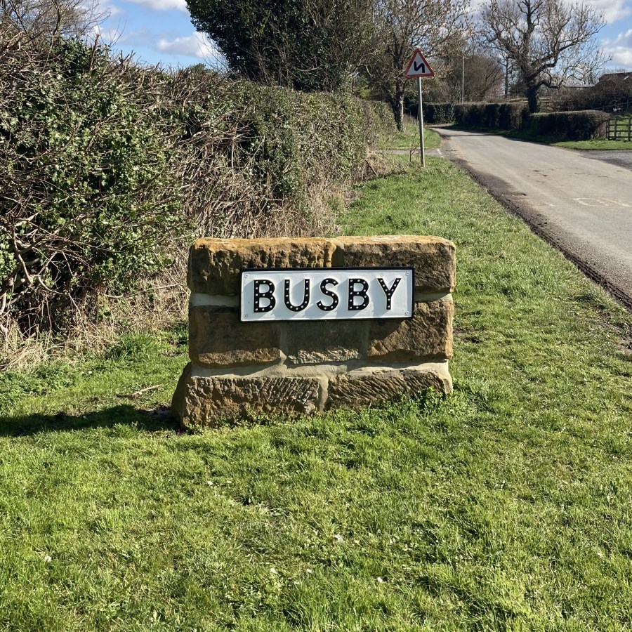
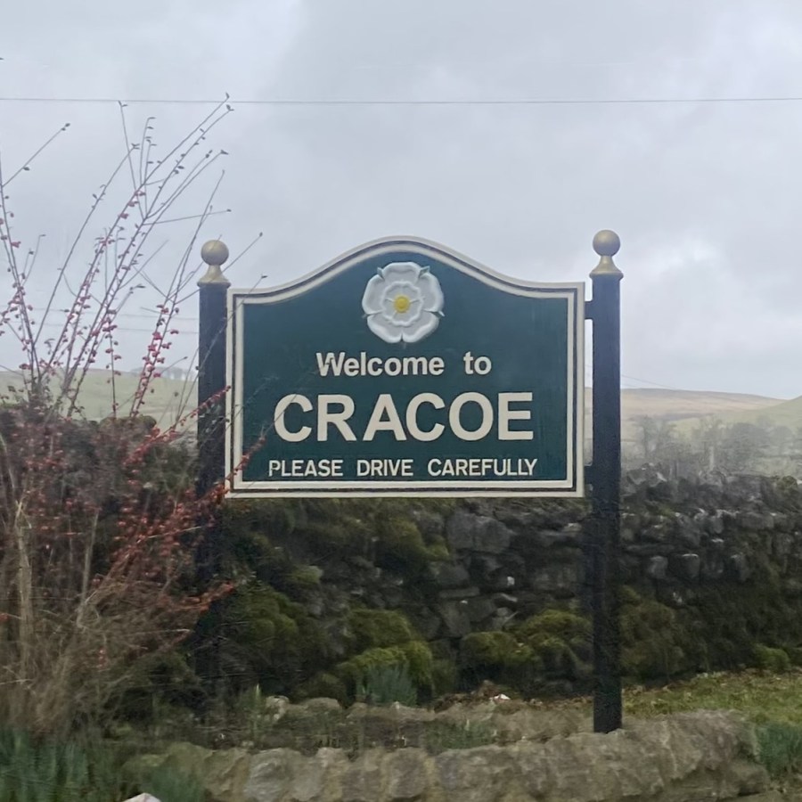
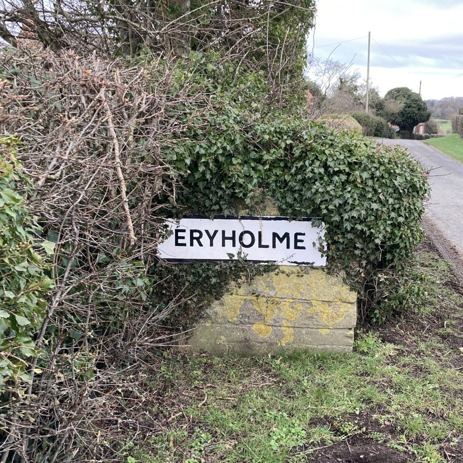
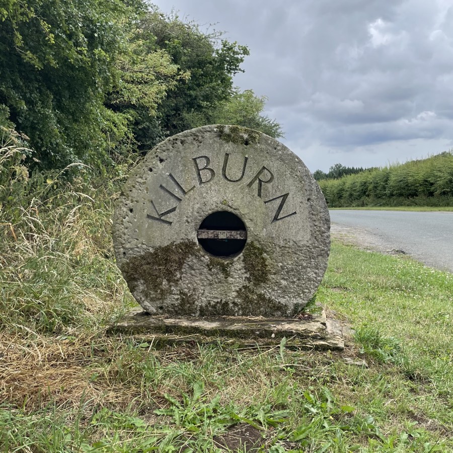
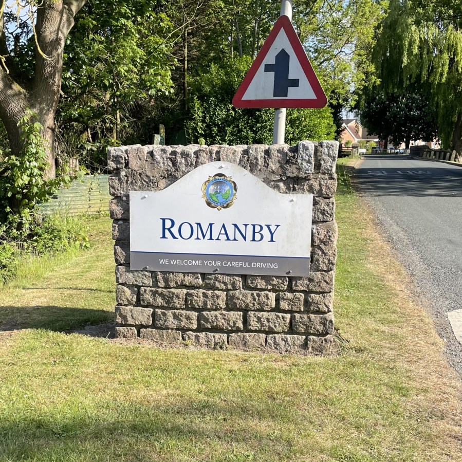
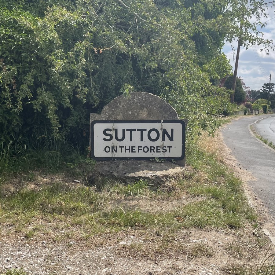
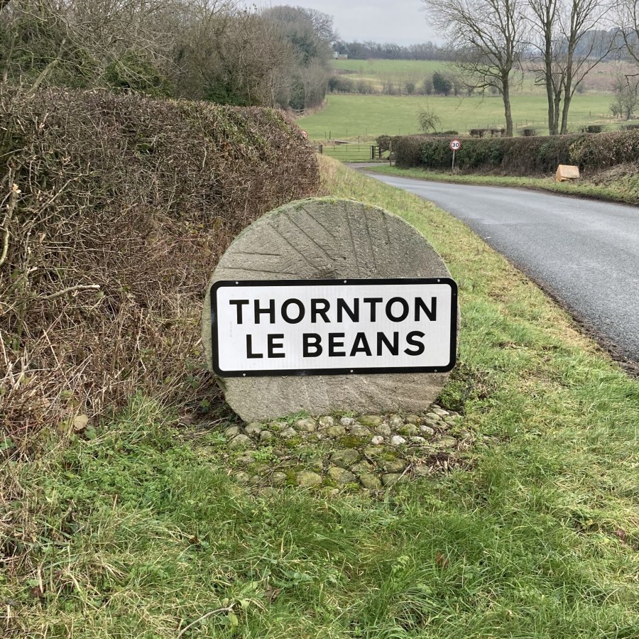
A key task to the website was creating the overlayed maps. This was an essential component to the website, as we thought it was most useful to see the map correctly orientated against a current, modern-day map. For example, the Dalton on Tees map can be seen here in the software, MapTiler. The points are plotted to match, and this orientates the map to face north.
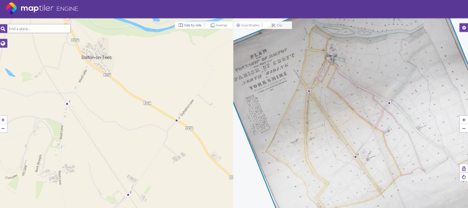
MapTiler was used to create all the overlayed maps on the website using GIS technology, or Geographic Information System. To do this, key features present in both maps were picked out and plotted – roads, rivers, and buildings such as the church, are usually easiest to spot. A sped up video of this task can be seen here, on the tithe map of Northallerton.
The website offers a maps page, giving an overview of 5 areas of North Yorkshire. You can also search the website for a specific place or parish, or check out the list of maps uploaded so far.
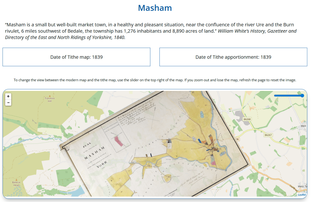
On each individual map page there is a short description of each place taken from William White’s Directory of 1840 (or 1838), as well as the date of the map and apportionment. The tithe map is overlayed onto a modern map, with a sliding toggle that makes the tithe map less (or more) transparent – as can be seen on the Masham map page below (found here on the website).
A typed transcript of the apportionment can be found below the map, which is searchable by any of the data – such as name or plot number.
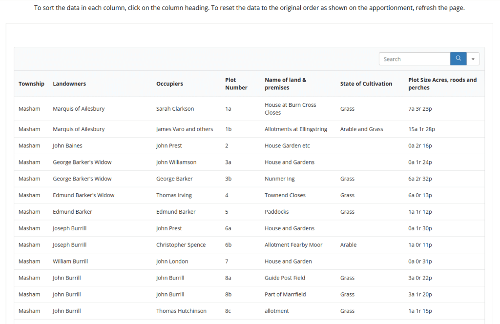
Finally, you can download the apportionment data as an excel document and also head over to our shop to buy a copy of the tithe map.
Not all of our tithe maps have been uploaded yet, but please do get in touch if you’re interested in seeing one uploaded to the website or wish to purchase a copy of a map (or part of one) not yet available on our online shop.
Have a look at some interesting tithe awards below…
Out in the searchroom across 3 tables (and still not fully unrolled) is the Clapham in Craven map from 1847, which is our largest tithe map at 6.4 x 2.4 metres!
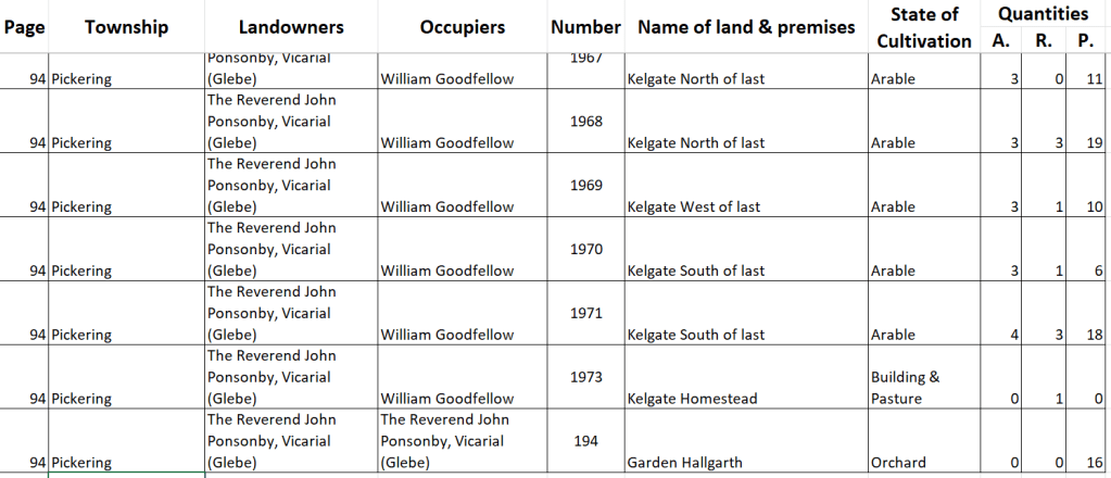
Large maps mean long apportionments – the Pickering apportionment is 94 pages long and the plot numbers nearly reach 2000, as can be seen in its transcription.
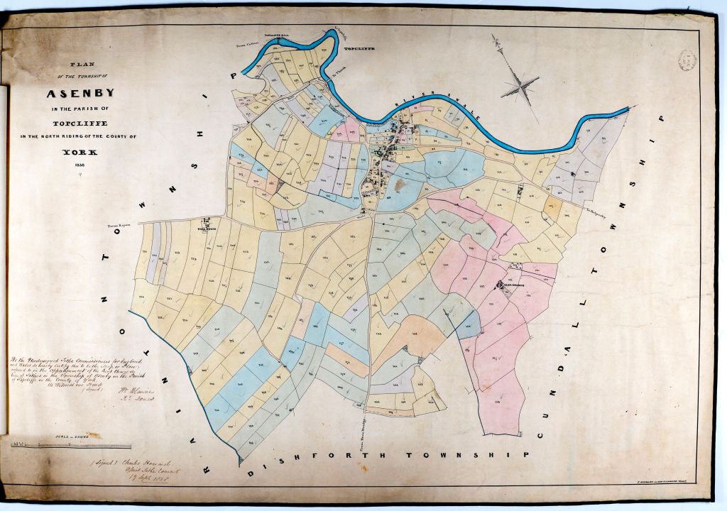
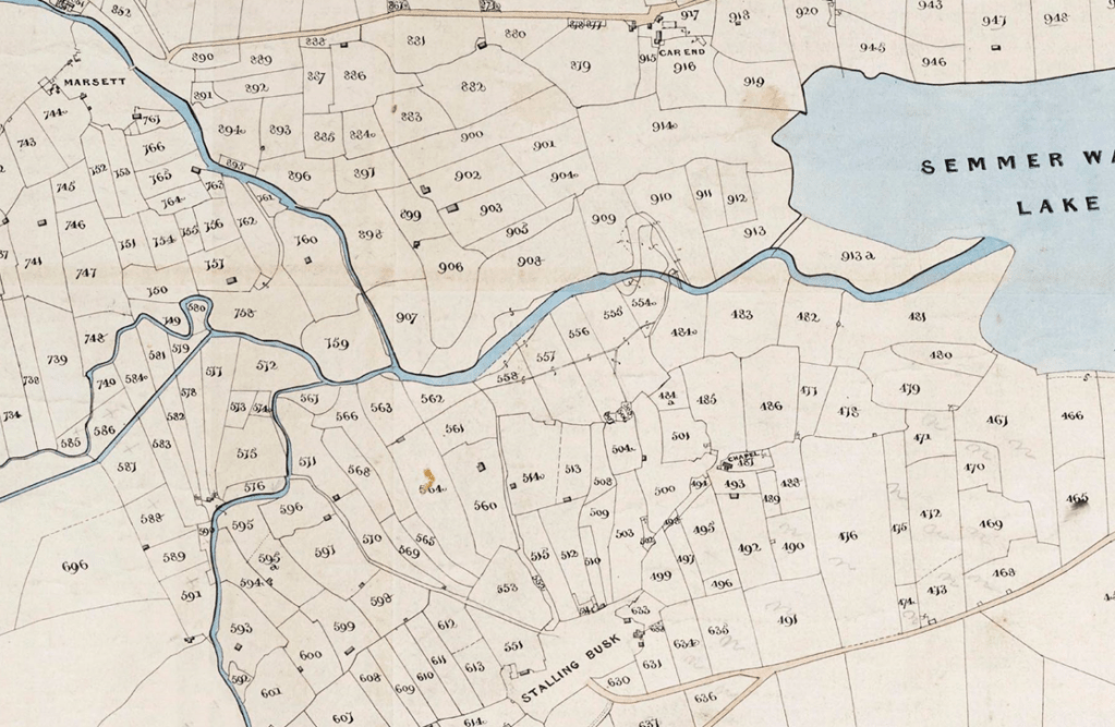
The Asenby map (dated 1838) is beautifully coloured by its surveyor and the Bainbridge map (1843) is incredible detailed – have a look on the website and you’ll see not all were given so much detail and care…
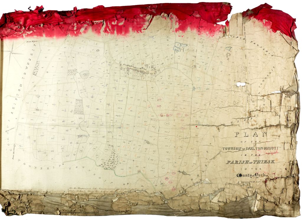
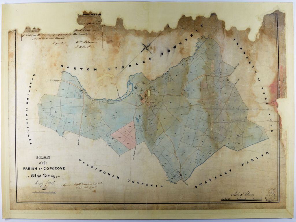
Most of the maps we hold were the copy held in parish, so can be damaged… by mysterious red ink like the Carlton Miniott 1842 map or nibbled on by pests like the Copgrove 1840 map!
We continue to work on transcribing the apportionments that are left and our Reprographics Department continue to digitise the tithe maps, editing the images and sometimes having to stitch the larger maps together in photoshop due to their size.
Thank you to the volunteers for their hard work and contributions to this project, it’s been a rewarding task seeing all their work finally be put onto the website.
Check out the Tithe Maps Website here – https://northyorkstithes.com.

