
The landscape around us has been shaped by human activity from the earliest farmers of the Neolithic period around 6,000 years ago, to the present day
Over the centuries, as land use has changed and agricultural methods and technologies have evolved, so too has the organisation of the countryside. Fields were first laid out to manage land for crops and livestock. Their boundaries, whether banks and ditches, fences, hedgerows or walls, provided an enclosed space to keep animals, separated different crops, and defined the extent of different landholdings.
Studying changes to field systems over time can help us to understand what, and how, historic processes have shaped the present landscape and recognise where earlier traces have survived. Some of these can only be seen or discovered through archaeological methods such as aerial photography.
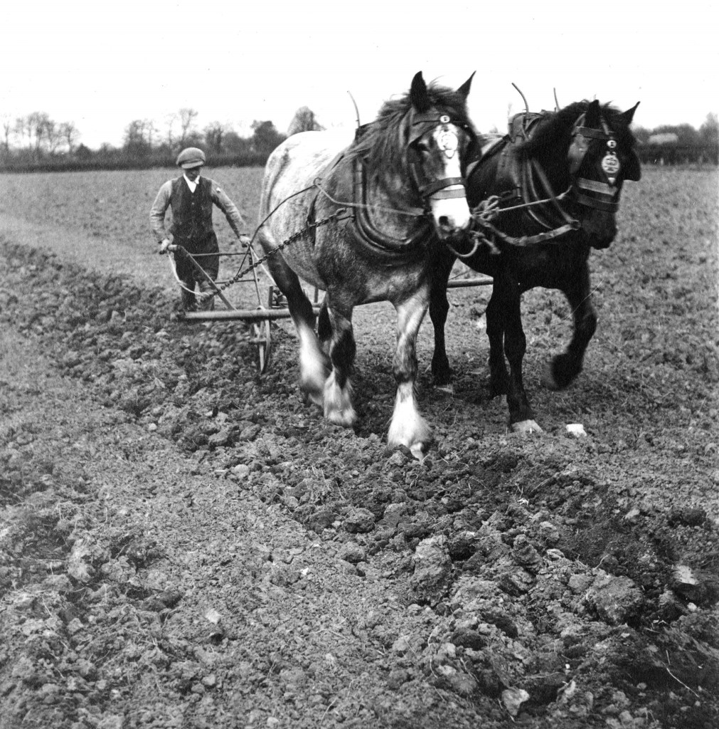
- Left: Mr Jackson ploughing with horses, Lower Dunsforth, c.1920 [KC00136]
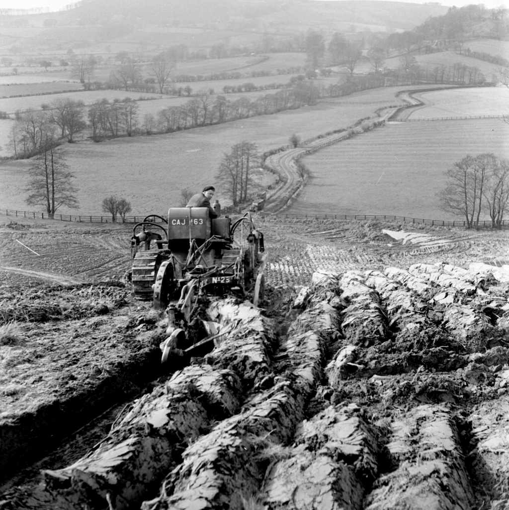
- Centre: Ploughing at Boltby Farm, Thirsk [BU07526A]
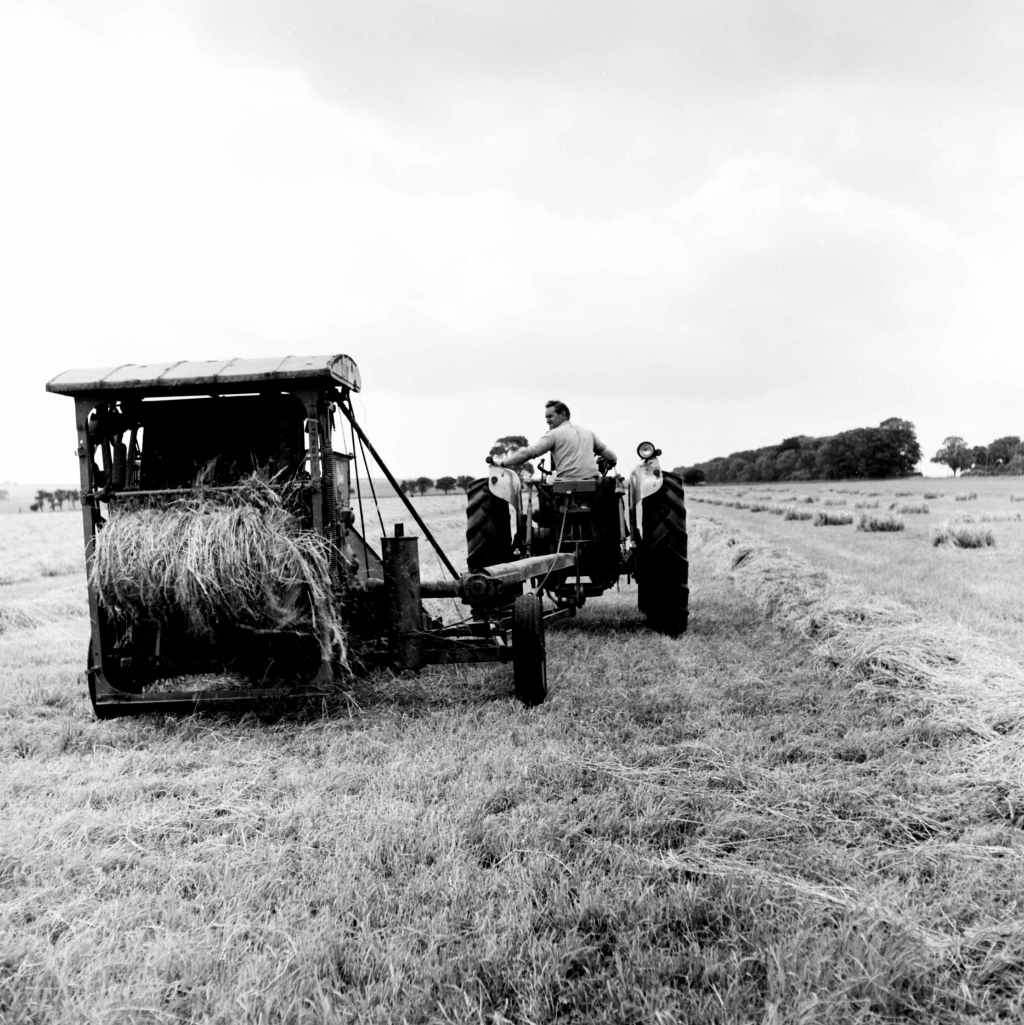
- Right: Haymaking, Malton [BU07422A]
Some of the earliest written records of landholding date from the 12th century, when the Church held over a quarter of all land in England as the second largest single landowner after the King. In the medieval period, ecclesiastical and secular manorial courts oversaw a communal system of open-field cultivation.
At the dissolution of the monasteries (1536-1540), King Henry VIII seized Church property and sold much of the land to the gentry, leading to a vast rise in private, landed estates. Over time, open fields were gradually enclosed, drastically transforming the landscape and changing how land was managed.
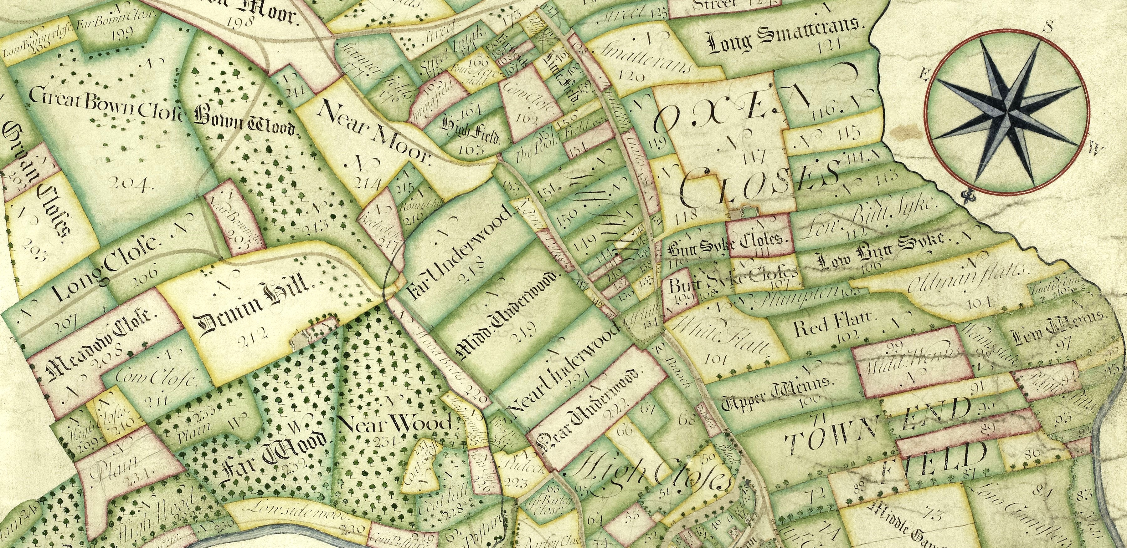
Extract from a plan of the Manor of Howsham, surveyed by Joseph Dickinson, 1705 [ZCG M 1/3]
Further reading:
The Making of the English Landscape by W.G. Hoskins, Penguin Books Ltd., 1985
Fields by Richard and Nina Muir, Macmillan, 1989
Fields in the English Landscape by Christopher Taylor, Sutton Publishing Ltd., 2000
